
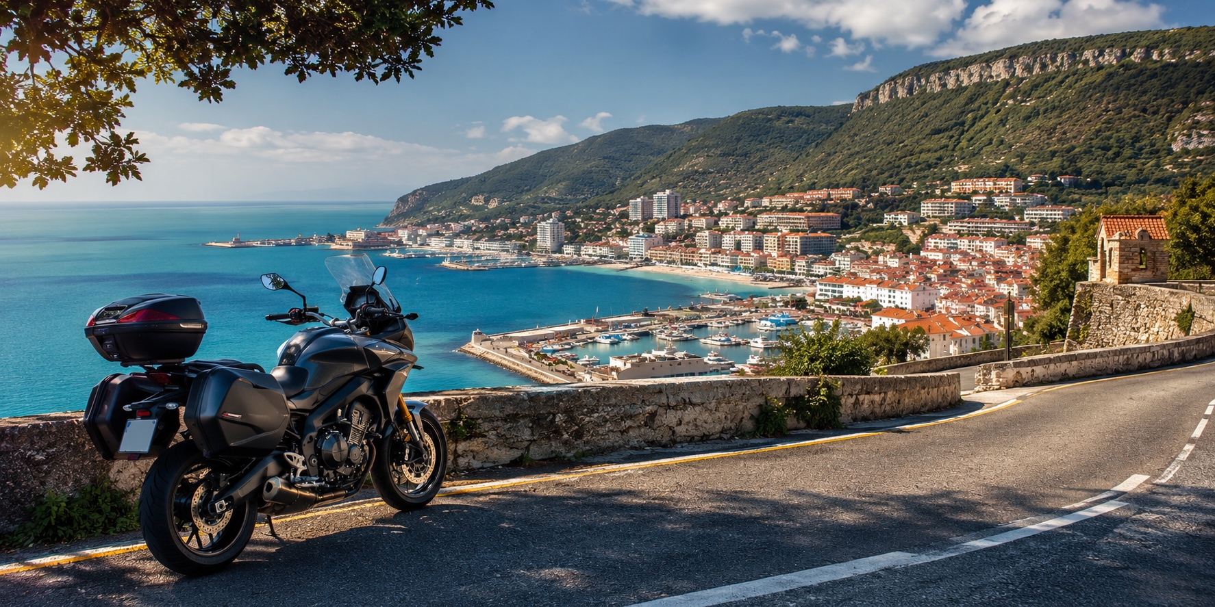
38.5243° N, 8.8926° W. Those are the cold GPS coordinates for the center of Setúbal. No fluff. Just raw geography. If you’re planning an itinerary and exploring what to visit in Setúbal by motorcycle, you need to understand the physical and economic layout before throwing your leg over the bike. Discover our Top 7 panoramic motorcycle routes around Lisbon, which include the stunning Serra da Arrábida.
Listen. The bridge itself is an engineering beast spanning 2,277 meters. Here’s the deal for riders: the inner lanes use open steel grating. It’s a metal mesh. Because steel grating causes a tire’s tread profile to hunt and wiggle, it creates immediate lateral tracking. Do not panic when the bike starts squirming at 80 km/h. Keep your arms loose. Grip the tank with your knees. If you hate steel mesh, your alternative is the Vasco da Gama bridge further east—longer routing, zero mesh, but higher crosswind exposure. Or you skip the highways completely and grind through the toll-free N10 national road. That extends the trip to 52 kilometers. Bad idea if you’re in a hurry. Why? Because the N10 forces you through endless industrial roundabouts, heavy diesel truck traffic from log yards, and automated speed traps set strictly at 50 km/h. You’ll spend more time dragging your boots in commuter traffic than burning real tarmac.
Setúbal is not a manicured tourist trap. It’s a blue-collar industrial hub. The entire economy is anchored by heavy port logistics, massive paper pulp mills in the Mitrena sector, and commercial deep-sea fishing. The Port of Setúbal has a massive navigational draft capacity of 15 meters. It processes over 6 million tons of cargo annually—mostly heavy Roll-on/Roll-off automotive shipments from the nearby Palmela assembly plants.
The fishing background is pure, raw data. The local fleet relies on heavy-duty trawlers targeting specific species: European pilchard (Sardina pilchardus), Atlantic mackerel (Scomber scombrus), and common cuttlefish (Sepia officinalis). This means the maritime districts near the docks smell like raw iodine, diesel oil, and crushed ice.
Right. If you’re navigating this urban layout, a car is a liability. The streets are tight, ancient, and choked with delivery vans. Getting a premium motorcycle rental is the only logical way to exploit the city’s hidden parking loopholes and transition smoothly from city pavement to mountain asphalt. The bikes in the fleet use a high-contrast red, white, and black layout. Good for safety. It keeps you visible when filtering between heavy trucks on the industrial avenues.
Location 1: Arrábida Natural Park (Road N379-1)
The asset here is a massive, protected limestone coastal mountain range covering exactly 10,800 hectares. Geologically, it’s a hyper-specific formation of sedimentary breccia and dolomite cliffs dating right back to the Mesozoic era. Tectonic forces shoved this block up 150 million years ago.
Now, let’s talk numbers. The absolute highest elevation point is the Formosinho peak. It sits at exactly 501 meters above sea level. Look. The entire zone is governed by radical environmental protection laws. You must stay on the paved lines. Off-road riding? Absolutely not. Don’t even try it. If your tires leave the asphalt and enter the protected Mediterranean Maquis brushland, you are breaking the law. Park rangers and maritime police monitor the sectors heavily. Violations of these strict perimeters are systematically prosecuted under national environmental protection decrees which dictate immediate fines ranging from €250 to a massive €2,500, plus the immediate physical impoundment of your machine on the spot. No exceptions.
Let’s dissect the N379-1 tarmac. It’s a technical mountain pass running along the high ridge line. The asphalt concrete uses a coarse aggregate mix designed for high mechanical tire grip. It loves sport-touring rubber. Run standard street pressures—36 PSI front and 42 PSI rear is the baseline for a cold tire.
But here’s the real danger: kilometer markers 10 to 14 sit directly below exposed limestone shelves. The wind continuously grinds the rock, coating the asphalt in a microscopic layer of white calcium carbonate dust. This dust acts like dry ball bearings. It drops the mechanical friction coefficient of your tires by 15% in dry weather. If it drizzles? Forget about it. The dust mixes with water to create a slick, milky paste that slashes your grip by 30% instantly.
The speed limit is fixed at 50 km/h. And you need to respect it. Why? Because major sectors of the high ridge completely lack continuous lateral steel guardrails. There are no barriers. None. You mess up an apex, and you’re looking at a vertical drop straight down into the sea. The only protection in specific bends consists of old concrete blocks spaced five meters apart.
Manage your kinetic energy. Rely heavily on engine braking by dropping down into second gear. If you lazily drag your front and rear brake pads down a sustained 10% grade, you will cause immediate thermal fluid degradation. Your standard DOT 4 brake fluid will hit its 230°C boiling point, gas bubbles will form in the lines, and your brake levers will go completely soft right when you need to shed speed before a sharp corner.
Is there anywhere to safely stop? Yes. Exactly three legal, paved viewpoints exist where you can drop the kickstand without blocking the road:
- – Miradouro do Portinho da Arrábida (located at kilometer marker 11).
- – Miradouro do Norte (located at kilometer marker 13).
- – The Convento da Arrábida access tier (located at kilometer marker 15).
If you stop on the dirt shoulders near these zones, check the surface. The ground is soft chalk. A heavy 200-kilogram bike will drive its side-stand straight into the dirt and tip over. Carry a small kickstand puck or find a flat piece of limestone to spread the load.
Location 2: Castelo de São Filipe
Right. Let’s look at the heavy defensive fortress sitting on the western ridge overlooking the urban core. Castelo de São Filipe sits at an elevation of 110 meters. It’s a massive 16th-century irregular star fortress designed explicitly for heavy coastal artillery placement.
Here’s the history. King Philip I of Portugal—who was also King Philip II of Spain during the Iberian Union—commissioned the construction in the exact year 1582. The architectural design was drawn up by the famous Italian military engineer Filippo Terzi. He specialized in defensive trace italienne geometry. The fortress uses a highly specific polygonal layout with six massive bastions. Why the star layout? Simple. It eliminated dead zones for the fort’s defenders and used angled stone faces to deflect incoming heavy cannon fire from hostile ships. The strategic mandate was absolute: control the narrow shipping channel of the Sado estuary and stop North African Barbary pirates or English privateers from entering the port. According to the national military architectural archives the walls are built from thick, locally quarried limestone masonry measuring up to 12 meters high. The artillery batteries could fire bronze cannons across the entire 2.5-kilometer width of the river mouth, locking down the coast.
Rider logistics require careful gear selection. The access road is called Estrada do Castelo de São Filipe. It is short, but it is steep. The incline gradient scales rapidly from 8% to a maximum pitch of 12%. Let’s be real: don’t attempt this in third gear. You need to keep the machine strictly in first or second gear to keep the engine inside its optimal torque band.
The pavement starts as standard bituminous asphalt but changes violently exactly 50 meters before the main entrance gate. It hits you with old granite cobblestone. These blocks are small, roughly 10 by 10 centimeters, and highly uneven. This granite surface has a low coefficient of friction. When you descend this section, keep your foot off the rear brake pedal and modulate the front lever with one or two fingers maximum. If you jam the brakes on these polished stone blocks, the front tire will lock instantly, and down you go. The vibration through the steering stem is heavy.
Parking? Don’t worry about it if you’re on two wheels. For cars, the parking area outside the main stone tunnel is a complete disaster zone—tight spaces, zero turning radius, and constant bumper scrapes. But if you’re operating a motorcycle rental, there is a dedicated, paved two-wheel parking zone positioned right outside the main gate, perpendicular to the limestone wall. It’s free. It’s legal. Drop the stand, lock the steering column, and walk through the stone tunnel.
Location 3: Mercado do Livramento
Now we move from the defensive heights straight into the dense urban center. The Mercado do Livramento is a massive, covered municipal market hall that acts as the absolute logistical stomach of the city. The building footprint is large, covering exactly 4,160 square meters of prime downtown territory.
Listen to the schedule facts. The market operates from Tuesday through Sunday. It opens its doors at 07:00 and shuts down completely at 14:00. Is it open on Mondays? No. Never. Mondays are reserved strictly for deep industrial sanitation. Municipal crews use high-pressure hot water blasters and industrial chlorine solutions to scrub every square inch of the reinforced concrete fish counters to meet European hygiene standards. Show up on a Monday and you’ll find nothing but locked steel shutters.
The interior architecture is famous for a reason. The walls hold exactly 5,700 individual azulejo tiles. These ceramic tiles were fired and painted at the Fábrica de Cerâmica Constância in 1945. The graphics on the tiles don’t show abstract patterns. They record explicit historical data: regional agricultural harvesting methods, old ox-cart transport configurations, and the chronological development of the Sado fishing fleet. The market is split into distinct zones. The western wing belongs entirely to the fishmongers. They layout deep-sea catches on massive beds of crushed ice—everything from local octopus to Black scabbardfish (Aphanopus carbo) dragged up from depths of over 1,000 meters.
Navigating the surrounding streets requires serious focus. The market is bounded by Avenida Luísa Todi to the south and Rua Guilherme Gomes Fernandes to the north. Traffic density on Avenida Luísa Todi peaks brutally between 08:00 and 11:00 when delivery box trucks and public transit buses clog the right lanes. If you are filtering on a scooter or motorcycle, you can move past the gridlock legally, but keep your eyes open. Do not cross solid white lines and stay out of the painted bus corridors.
Where do you park? Setúbal has very specific municipal laws for two-wheelers. You are legally allowed to park your bike directly on the wide sidewalks surrounding the market hall. But here’s the catch: you must comply strictly with the municipal parking regulation codes which state that your machine must leave a minimum of 1.2 meters of unobstructed clearance for pedestrian transit. If you block a wheelchair ramp, park on tactile paving designed for the blind, or obstruct a fire hydrant, the municipal police will slap you with an immediate €60 fine and tow the bike to the municipal pound. When you park your motorcycle rental, find a wide section of the Calçada Portuguesa pavement, ensure the limestone blocks aren’t loose, and confirm the bike sits stable on its side-stand.
Location 4: The Coastal Road & Beaches (Figueirinha to Galapinhos)
Right. Let’s break down the lower coastal infrastructure that runs along the absolute base of the Arrábida cliffs. This asphalt strip connects the city to a series of public beaches, running from Praia da Figueirinha in the east to Praia de Galapinhos in the west.
Why is the water here completely different from the rest of the Portuguese coast? It’s a geographical anomaly. The coastline faces directly south-southwest. The massive 500-meter wall of the Arrábida mountain range acts as a physical shield against the brutal north and northwest winds that constantly batter the rest of Iberia. This physical barrier stops wave propagation dead in its tracks. The result? Zero wave swells. The water is totally static, functioning like a saltwater swimming pool with extreme visual clarity because there is no wave action to stir up sea-floor sediment. The sand consists of coarse quartz grains. The water temperature? It’s pure, unmodified Atlantic water. Cold. The average summer water temperature crawls between 15°C and 17°C maximum. It will wake you up fast.
Rider logistics along this route are highly critical. The road is the lower section of the N379-1. It is a narrow, two-lane road with zero shoulder clearance. The actual asphalt width drops below six meters in multiple sectors, meaning two passing buses will mirror-slap each other if they aren’t careful.
Here is the deal with summer traffic restrictions. The Setúbal municipality enforces a mandatory, ironclad ban on private car traffic along this coastal strip. The ban runs exactly from June 15 to September 15 every year. The gridlock in previous years was so severe that emergency vehicles couldn’t reach the sand, forcing the local government to act. Automated license plate reading cameras and maritime police checkpoints block the road at both ends. If you drive a standard passenger car, you are blocked. You are forced to park in a dusty dirt lot miles away and wait in line for a hot municipal shuttle bus.
But here is your massive loophole. The Setúbal municipal traffic ordnances explicitly exempt motorized two-wheeled vehicles from this seasonal ban. A motorcycle or scooter is the only private transport vehicle legally allowed past the checkpoints during peak summer. You can ride straight past the police lines. You transit the empty coastal road and park directly at the designated two-wheel parking slots right at the trailhead for Praia dos Galapinhos. Having a motorcycle rental is a mandatory strategic hack if you want to access these beaches during July or August without destroying your schedule in public transport lines. The designated bike park holds 50 slots directly on the asphalt shoulder.
Location 5: Tróia Peninsula via Sado Ferry
Now you’re at the southern edge of the city limits, looking across the Sado River estuary at a massive 17-kilometer-long continuous sandbar. That’s the Tróia Peninsula. It cuts the river estuary off from the open Atlantic Ocean.
Why should an automotive enthusiast care about this sand spit? Because it holds the Roman ruins of Cetóbriga. Let’s look at the hard historical data. This industrial complex operated continuously from the 1st century through the 6th century AD. It wasn’t a town; it was a massive factory dedicated to fish-salting and the production of garum—the highly prized fermented fish sauce used across the Roman Empire.
The chemical mechanics of garum were intense. Roman workers packed fish viscera and small pelagic fish into deep stone vats, layered them with high concentrations of sea salt, and left the mixture exposed to open solar heat for two to three months. This triggered anaerobic fermentation and enzymatic protein breakdown, liquefying the fish into a highly pungent sauce. The excavated site covers exactly two hectares. You can walk straight up to the ruins of the concrete salting vats, the ancient thermal bath heating ducts, and the foundations of early Christian basilicas.
Rider logistics for the water crossing require a specific protocol. The departure point is the Doca do Comércio terminal inside the commercial port layout. Listen carefully to the staging setup. When you arrive, ignore the massive line of cars snaking down the main avenue. Motorcycles possess total queue-jumping priority. Ride straight down the far right side of the staging lanes directly to the dedicated two-wheel ticket window.
According to the official maritime transport schedules managed by Atlantic Ferries, motorcycles are pushed to the front of the line and allowed to board the roll-on/roll-off (Ro-Ro) vessel before a single car turns its wheels.
The boarding ramp is made of heavy-gauge corrugated steel plates. This steel is incredibly slick. Marine diesel exhaust condensation and salt spray coat the metal constantly. Do not grab a handful of front brake while your front tire is crossing the wet steel joints. It will wash out instantly. Maintain a steady, linear throttle input at walking speed.
Once you guide the machine onto the main vehicle deck, ship crew will point you to the outer port or starboard bulkhead tracks. Park the bike on its side-stand. Never use the center-stand on a moving ship. The heavy roll of the boat over ocean swells creates a pendulum effect on a center-stand, swinging the bike past its balance point and slamming it into the steel deck plates. Leave the transmission locked securely in first gear to choke any wheel movement.
The ferry crosses a distance of exactly 2.8 nautical miles. The ship cruises at a steady 9 knots, making the total transit time from the Setúbal dock to the Cais Sul terminal on Tróia exactly 25 minutes. Let’s look at the financial math. Taking a motorcycle rental across the river costs exactly €12.50 for the machine and the rider. A standard passenger car costs €26.50. You are cutting your transit expenditure by more than 50% while saving hours of travel time compared to driving all the way around the river basin via the inland bridges of Alcácer do Sal. Drop the stand, step up to the passenger deck, and watch the water for the local resident population of wild bottlenose dolphins that hunt along the ferry hull.